Safety & Navigation
How to Read the Weather Before a Trip
Learn how to check the forecast, understand mountain weather, and recognize signs in the sky so you can make safe go/no-go calls on the trail.
Bad weather surprises more hikers than almost any other hazard. The good news: most dangerous conditions give plenty of warning if you know where to look. This guide walks you through checking forecasts before you leave, understanding how mountains make their own weather, spotting warning signs on the trail, and deciding when to turn back.
Why Mountain Weather Is Different From the Town Forecast
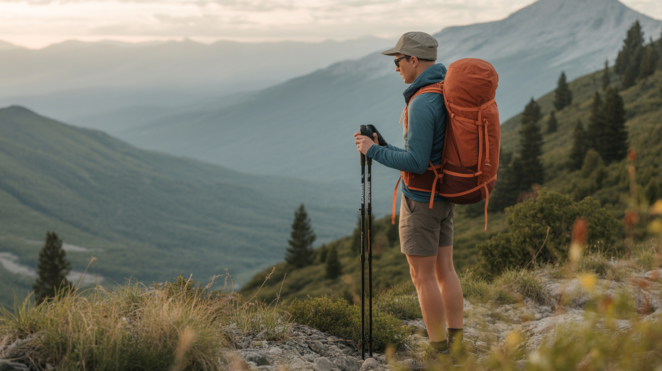
Your phone's weather app shows conditions at a nearby weather station, usually in a valley or at an airport. Mountains are another environment entirely. Temperature, wind, and precipitation all behave differently at elevation, and learning that difference is the first step toward reading weather for hiking safely.
The Lapse Rate: It Gets Colder as You Climb
Air temperature drops roughly 3.5°F (about 2°C) for every 1,000 feet of elevation gained. Hike up a 4,000-foot peak from a valley trailhead and the summit can be 14°F colder than where you parked, even on a clear day. Add wind and that gap widens fast.
The practical takeaway: always pack a layer (or two) more than the valley forecast suggests. Conditions that feel like a mild spring afternoon at the car can feel like early winter at the ridgeline.
Wind Increases With Elevation
Ridges and summits funnel and accelerate wind. A 15 mph breeze in the valley often becomes a 30–40 mph gust at the exposed col above treeline. Wind chill drops the feels-like temperature far below the actual reading. A day that looks fine on paper can be genuinely dangerous above treeline if the wind component is ignored.
Check the summit forecast, not just the trailhead forecast. Many weather services offer point forecasts for specific mountain summits (see the next section).
Afternoon Thunderstorms Are Predictable, and Deadly
In most mountain regions, late spring through early fall brings a reliable pattern: clear mornings, building cumulus clouds by midday, thunderstorms developing by early to mid afternoon. This happens because the sun heats the terrain, air rises, moisture condenses, and storms form.
The rule that saves lives: plan to be off exposed ridges and summits by noon to 1 p.m. on days with any storm potential. Lightning strikes the high point. If you hear thunder, you are already at risk, don't wait to see the bolt.
How to Check a Reliable Forecast Before You Go
A single glance at a weather app the morning of your hike is not enough. Build a short pre-trip weather routine.
Use a Point Forecast for Your Summit or Campsite
General forecasts average conditions over large areas. For hiking and camping, use a point forecast that targets the specific location and elevation you're heading to.
- National Weather Service point forecast (US): Go to forecast.weather.gov, enter your destination's coordinates or zip code, and read the hourly and extended outlooks. Look for the zone forecast discussion for plain-language context from a meteorologist.
- Mountain-Forecast.com: Provides elevation-specific forecasts for thousands of peaks worldwide, broken down by altitude band. Particularly useful for multi-day trips.
- Windy.com: Excellent for visualizing wind speed and direction at different altitudes. Helps you understand whether a summit wind advisory actually affects your route.
Check the forecast the night before and again the morning of the trip. Conditions change fast; a 24-hour-old forecast is not reliable for the mountains.
Pre-Trip Weather Checklist
Run through this list before every outing:
| What to check | Why it matters |
|---|---|
| Hourly forecast for summit/campsite elevation | Valley temps can be misleading |
| Wind speed at ridge elevation | Wind chill and safety at exposed sections |
| Precipitation probability, hourly | Afternoon thunderstorm window |
| Lightning/storm watch or warning | Go/no-go trigger |
| Overnight low (for camping) | Sleeping bag rating adequacy |
| Dew point | High dew point + heat = heavy moisture, fog potential |
| Multi-day trend | Deteriorating pattern vs. clearing |
If any cell in that table is ambiguous or concerning, dig deeper before committing to the trip.
Reading Clouds and Sky Signs on the Trail
Forecasts get you out the door informed. Once you're on trail, the sky itself becomes a live data feed. Learning a handful of cloud types gives you real-time warning of incoming conditions.
Cloud Types and What They May Signal
| Cloud / Sign | What it may mean |
|---|---|
| Thin, wispy cirrus high in the sky | Warm front approaching; rain possible in 24–48 hours |
| Flat, gray sheet covering the whole sky (stratus) | Prolonged drizzle or rain; deteriorating conditions |
| Puffy white cumulus building vertically by late morning | Afternoon thunderstorm likely |
| Tall, dark anvil-shaped cumulonimbus | Active thunderstorm; take cover immediately |
| Lenticular cap cloud sitting on a summit | Strong winds at the summit, even if calm below |
| Rapidly darkening sky to the west | Fast-moving front; conditions can change in minutes |
| Fog rolling in at your level | Visibility and navigation challenge ahead |
You don't need to memorize every cloud genus. Focus on the two that matter most for safety: rapidly building cumulus (thunderstorm coming) and anvil tops (thunderstorm here now).
A Dropping Barometer
Atmospheric pressure drops before bad weather arrives. Some GPS watches and dedicated trail altimeters have a built-in barometer and display pressure trends. A steady or rising barometer generally signals stable conditions. A falling barometer, especially a rapid drop, signals an approaching storm or front.
If your watch shows falling pressure and the clouds are building, that's two signals pointing the same direction. Trust them.
Other On-Trail Signs
- Sudden wind shift: Winds often change direction when a front passes. An unexpected shift from south to northwest (in the Northern Hemisphere) often means a cold front just arrived.
- Smell of rain or petrichor before you see drops: The scent travels ahead of the storm front.
- Animals heading downhill or to shelter: Wildlife often reacts to pressure changes before humans notice them. Not a reliable signal on its own, but worth noting.
Decision Rules: When to Turn Around
The hardest part of weather safety is making the call to go back when you've already invested time and miles. These rules exist to make that decision easier, because conditions in the mountains don't negotiate.
Turn-Back Triggers
Turn around (or don't start the exposed section) if:
- Thunder is audible, regardless of how far away it sounds
- You can see lightning strikes anywhere in the sky
- You are above treeline and clouds are building faster than expected
- The wind is strong enough to affect your balance on exposed terrain
- Visibility drops below comfortable navigation distance
- You are more than halfway through your turnaround time window and haven't reached the summit
The last point matters on day hikes: if your turnaround time is noon and it's 11:30 with half the climb remaining, turn around. Summits will exist next weekend.
Lightning Safety Outdoors
If a storm catches you in the open, the goal is to reduce your exposure as quickly as possible:
- Get off ridges, summits, and open slopes immediately. Move toward treeline.
- Avoid lone tall trees and cliff faces (ground current travels along rock).
- If you're in a forest, crouch under shorter trees in a low area.
- Spread out from your hiking partners by at least 50 feet so a strike doesn't affect everyone.
- Ditch your trekking poles and drop your pack if it has a metal frame. Crouch on your sleeping pad if available (insulation from ground current).
- Do not lie flat. The lightning position, feet together, crouching on the balls of your feet, hands over ears, minimizes ground contact.
Wait 30 minutes after the last thunder before moving back into the open.
Learning to read the weather is a skill that builds trip by trip. Start with the forecast routine before every outing, practice identifying cloud types on shorter hikes where the stakes are lower, and get comfortable making conservative decisions. The mountains aren't going anywhere, and the best hikers are the ones who come home to hike again.
For related skills, see how to navigate with a map and compass, how to use your phone for hiking navigation, and what to do if you get lost while hiking.
Frequently Asked Questions
How far in advance should I check the weather before a hike?
Check the extended forecast 3–5 days out to spot any major incoming systems and decide whether to rebook. Do a detailed review the night before your trip and a final check the morning of. Mountain forecasts become much more accurate within 24 hours, so the morning check is the one that matters most for your go/no-go decision.
Is a 30% chance of afternoon thunderstorms too risky for a summit hike?
It depends on your timeline and the terrain. A 30% probability means storms are possible, not certain. If you can summit by 11 a.m. and be back below treeline before noon, the risk is manageable. If the summit is a full day's effort that puts you on the ridge at 2 p.m., a 30% storm chance is a meaningful hazard. Plan your turnaround time so you're off exposed terrain before the daily storm window opens, regardless of the percentage.
What's the difference between a weather watch and a weather warning?
A watch means conditions are favorable for severe weather to develop, stay alert and have a plan. A warning means severe weather is imminent or already occurring in the area, take action immediately. For backcountry trips, treat any active warning for your region as a no-go until it expires.
Do I need a special weather radio or device for hiking?
Not necessarily, but a few tools help. A GPS watch with a built-in barometer gives you real-time pressure trends on trail. A portable NOAA weather radio (small, battery-powered) picks up NWS broadcasts in areas without cell service. Many satellite communicators (like Garmin inReach) also provide weather forecasts to your device when you're out of range. For day hikes with cell service, a good forecast app suffices, the skill is knowing which data to look at, not which device to carry.
Can I trust my phone's default weather app for hiking?
For a trailhead or car-camping spot at low elevation, a standard weather app is usually adequate. For anything involving significant elevation gain or exposed ridge walking, use a point forecast service (NWS or Mountain-Forecast.com) that accounts for your actual elevation. Default weather apps typically pull from low-elevation stations and will underestimate wind, cold, and storm risk at altitude.