Hiking & Trails
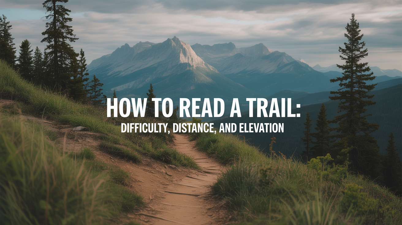
How to Read a Trail: Difficulty, Distance, and Elevation
Learn how to read a trail map, understand difficulty ratings, and estimate hiking time so you can pick the right trail for your fitness level.
Before you book a campsite or lace up your boots, you need to understand what a trail is actually asking of you. A "5-mile trail" can be a gentle afternoon walk or an all-day grind, depending on one number that many beginners overlook: elevation gain.
This guide walks you through every piece of information on a trail listing so you can match a hike to your current fitness, not your aspirational fitness.
Why Elevation Gain Matters More Than Distance
Distance tells you how far your feet travel. Elevation gain tells you how hard your lungs and legs will work. On flat ground, most adults cover three miles per hour without much effort. Add 1,000 feet of climbing to that same distance and your pace drops, your heart rate climbs, and the hike feels twice as long.
Trail listings usually express elevation gain in feet or meters. This is the total upward climbing over the entire route, not the difference between the starting and ending points. A loop trail that dips into a valley and climbs back out twice accumulates more gain than a simple summit-and-return on a straight ridge.
A rough rule of thumb: add one hour for every 1,000 feet of gain on top of your base hiking time. This is the core of Naismith's Rule, a planning formula hikers have used since the 1890s. For a 6-mile trail with 2,000 feet of gain, a moderate hiker averaging 2 mph on flat ground would estimate: 3 hours (distance) + 2 hours (gain) = roughly 5 hours round trip. Add buffer time for breaks, photos, and the unpredictable.
How to Read an Elevation Profile
Most trail apps and websites (AllTrails, Gaia GPS, Recreation.gov) show an elevation profile alongside the map. It looks like a line graph where the horizontal axis is distance and the vertical axis is elevation.
What to look for
Steep, closely packed lines on a topographic map, or a sharp spike on the profile, mean aggressive climbing over a short stretch. A gradual slope across a long distance is far more forgiving, even if the total gain is the same.
Multiple peaks on the profile mean you gain and lose elevation repeatedly. These "roller coaster" trails are often underestimated because the listed gain only shows cumulative ascent, not the descents in between. Descending burns your quads and knees, so factor that in too.
The steepest section's position also matters. A hard climb at the start means you tackle it fresh. A big push near mile eight means tired legs.
Reading the contour lines on a topo map
Topo maps show elevation through contour lines, with each line representing a fixed change in elevation (often 40 or 80 feet per line). Where lines bunch together, the terrain is steep. Where they spread apart, it's gradual. Trail apps overlay the GPS route on this map so you can see exactly where your path crosses those contour lines.
If you're just getting started with hiking, spending ten minutes learning to read a topo map is one of the highest-return investments you can make.
Understanding Trail Difficulty Ratings
Here's the honest truth about difficulty ratings: they are not standardized. A trail marked "moderate" in Rocky Mountain National Park is a different animal from a "moderate" trail in coastal Georgia. Each land management agency, app, and guidebook uses its own system.
That said, most systems use three or four tiers based on distance, elevation gain, terrain type, and trail surface. Here's a practical reference:
| Difficulty | Typical Distance | Elevation Gain | Who It Suits |
|---|---|---|---|
| Easy | 1–5 miles | Under 500 ft | Beginners, families with young kids, casual walkers |
| Moderate | 4–9 miles | 500–2,000 ft | Regular walkers with some hiking experience |
| Hard | 7–15 miles | 2,000–4,000 ft | Fit hikers comfortable on uneven terrain |
| Strenuous | 10+ miles | 4,000+ ft | Experienced hikers, good aerobic base required |
These ranges overlap by design. A 4-mile trail with 1,800 feet of gain can legitimately appear in either "easy" or "moderate" depending on who rated it.
Other factors that shift difficulty
Trail surface: Maintained gravel paths are easier than boulder scrambles at the same distance. Rocky, rooted, or muddy trails slow your pace and tire your ankles faster.
Altitude: A 6-mile trail at 11,000 feet feels harder than the same trail at sea level because the air holds less oxygen. If you live near sea level and you're visiting a mountain park, add 30–50% more time than you'd normally budget.
Season and conditions: Snow, ice, or post-rain mud change a "moderate" trail into something that requires trekking poles, microspikes, or a turned-around trip home. Always check recent trail conditions before you go, not just the difficulty rating.
Trail Shape: Out-and-Back vs. Loop vs. Point-to-Point
The shape of a route changes the experience significantly, even at the same distance and gain.
Out-and-back: You hike to a destination and return the same way. The advantage is flexibility: you can turn around at any point. The downside is seeing the same terrain twice. These are good for beginners because you can gauge your energy before committing to the full distance.
Loop: You complete a circuit and end at the trailhead. You see more variety, but you're committed once you reach the halfway point. Check the elevation profile before starting a loop; some are climbed clockwise, some counterclockwise, and the direction matters for where the hardest climbing falls.
Point-to-point (or shuttle): You start at one trailhead and end at another, requiring a second car or shuttle. These are common on long-distance trails. They're not a beginner's first choice unless the logistics are simple.
Estimating Your Time on the Trail
Naismith's Rule gives you a baseline: allow one hour per 3 miles of hiking distance, plus one additional hour per 1,000 feet of elevation gain. So a 6-mile hike with 1,200 feet of gain would take roughly 2 hours (distance) + 1.2 hours (gain) = about 3.2 hours of moving time.
Real time on trail is always longer. Add 20–30% for:
- Rest stops and snack breaks
- Navigation pauses (especially on poorly marked trails)
- Photography
- Slower terrain (talus, stream crossings, mud)
If you're hiking with children, double the Naismith estimate. If you're brand new to hiking, start with a trail whose Naismith time is under two hours. Success on short trails builds the fitness and confidence for longer ones.
Make sure you pack appropriately for the duration before you head out. Running low on water on a hot climb is far more serious than it sounds.
Matching a Trail to Your Fitness
The most common beginner mistake is choosing a trail based on what sounds impressive rather than what is realistic. Five miles sounds casual. Five miles with 2,500 feet of gain is not casual.
A useful self-assessment before picking a trail:
-
How far can you walk without stopping? If your longest recent walk was 2 miles around your neighborhood, start with a 3–4 mile trail, not an 8-mile mountain route.
-
Do you have any hill-walking experience? Flat-ground fitness does not translate directly to hiking on steep terrain. Start with trails under 500 feet of gain until you know how your body responds.
-
What is your time budget? A trail that takes 5 hours needs to finish well before dark. Check sunset times and work backward from your turnaround time, not your arrival time.
-
What is the terrain like underfoot? If you haven't hiked on rocky trails before, pair a manageable distance with a well-maintained surface. Choosing the right footwear for the terrain also plays a big role in how quickly you fatigue.
The goal on early hikes is to finish feeling good, not to barely survive. Pick a trail that is slightly below your perceived limit the first time out. You can always add distance on the next trip.
Frequently Asked Questions
What does "elevation gain" mean on a trail listing?
Elevation gain is the total amount of upward climbing on a trail, measured in feet or meters. It counts every ascent, not just the difference between the lowest and highest point. A trail that goes up, comes down, and goes up again accumulates gain from both climbs.
How do I know if a trail is too hard for me?
Look at the combination of distance and elevation gain together, not either number alone. Then use Naismith's Rule to estimate your moving time, and compare it to how long you've comfortably walked or hiked before. If the estimate is more than 50% longer than your longest recent outing, the trail is probably too ambitious for a first attempt.
Are difficulty ratings the same across different apps and parks?
No. There is no universal standard. AllTrails, REI, and the National Park Service each use slightly different criteria. A trail rated "moderate" in one system may be "strenuous" in another. Always read the full description, look at the elevation profile, and check recent user reviews for conditions.
What's the difference between elevation gain and elevation change?
Elevation change (sometimes called net elevation) is the difference between where you start and where you end. Elevation gain is the total upward climbing, which is always equal to or greater than the net elevation change. On a loop trail, net elevation change is zero (you end where you started), but elevation gain can be several thousand feet.
How much water should I bring based on trail distance?
A common guideline is half a liter (about 17 oz) per hour of hiking. On a 3-hour trail in moderate weather, that's 1.5 liters minimum. Add more for hot days, high altitude, or heavy packs. Always carry more than you think you need, especially on trails with no water sources.